On Saturday, July 27, 2024, the Oulu Historical Association (Oulun historiaseura) organized the Viantienjoki History Symposium at the former Pömiö School, now the Hunting Club House (Metsästysseuran talo). I participated in the symposium and, on the same trip, went to admire the views from Ala-Penikka and check out the Struve Geodetic Arc point.
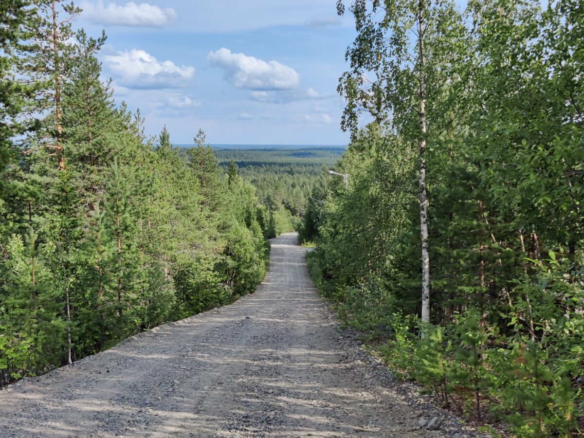
The day was hot, with the temperature close to 30 degrees Celsius. After the symposium, I drove along Viantienjoentie and parked my car slightly past the Lonola junction, by a forest road. After dinner, I set off on my mountain bike.
First, I checked the north end of the forest road to see how overgrown the path leading north from the turning point at Ylimmäinen Koivurova was. Old maps show this path connecting to the hiking trail from the Kivalo Jaeger hut, but it’s not marked on newer maps. The path looked overgrown but passable. I thought it might be easier to walk than to bike. I’ll need to check the route more thoroughly in the fall.
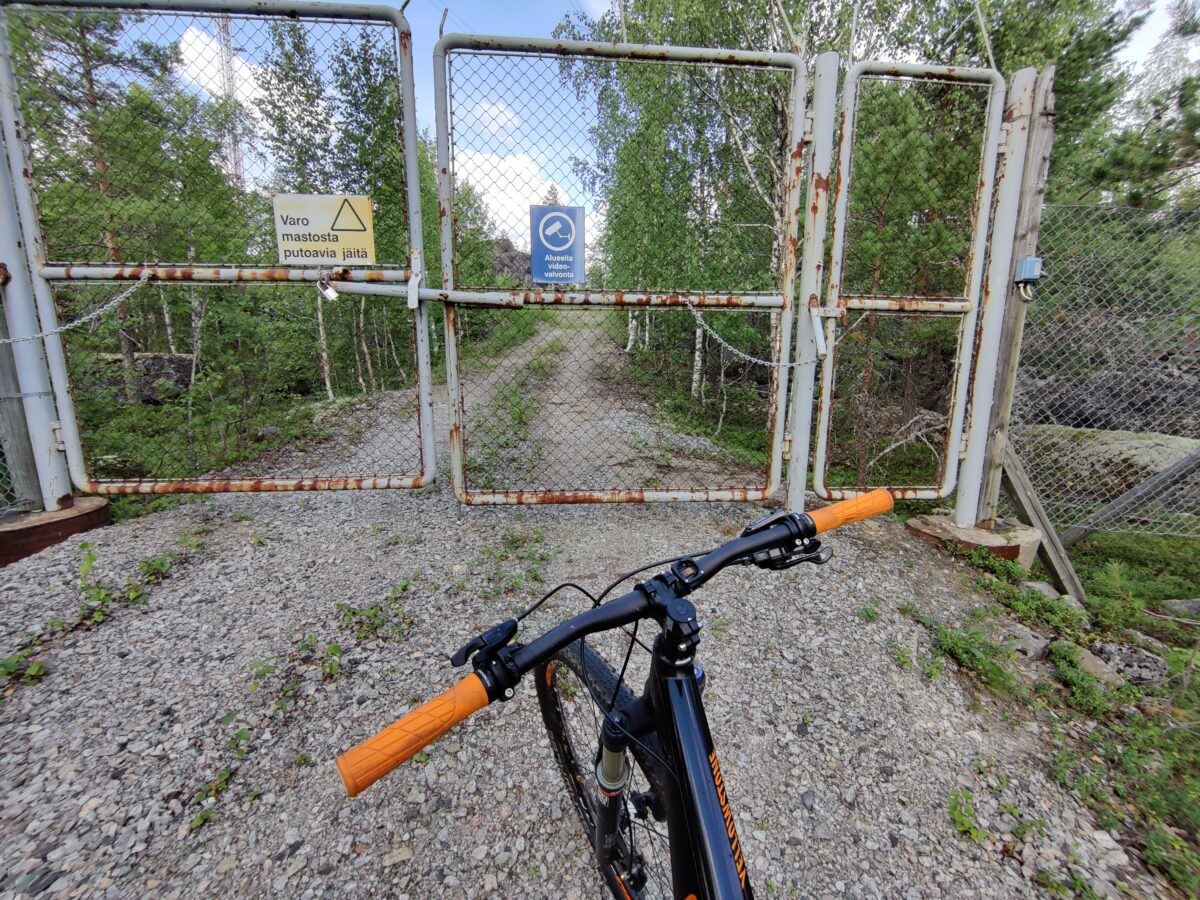
From the turning point, I rode past the car back to Viantienjoentie and up the slope of Ala-Penikka. An defence forces radar station operated on the summit of Ala-Penikka from 1955 to 2007. The area is still fenced and closed off. I returned from the closed gate a little way down the road and turned onto a westward road. This road also led to a fence and closed gate, so I couldn’t reach the highest summit. I left my bike by the roadside and continued on foot along the fence to the west side of the summit. The terrain was rocky, with some rocks hidden under moss and lichen. I had to walk carefully.
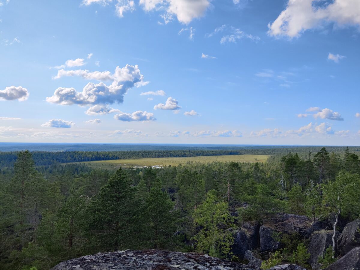
The west slope opened up to incredibly beautiful views of Pookijänkä and the distant hills. The twisted trees and moss-covered, rocky slopes of Ala-Penikka were also impressive. The atmosphere was quite different from, for example, Keski-Penikka hill.
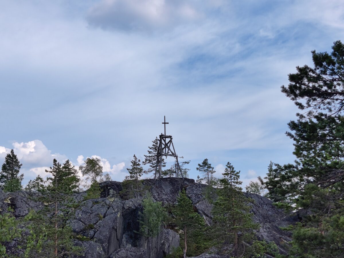
The Struve Geodetic Arc point was visible from this side, although it was within the fenced area. The Struve Geodetic Arc, a chain of triangulation points, was used to determine the shape and size of the Earth in the 19th century. You can read more about the Struve Geodetic Arc point in the second part of the history blog series.
The heat quickly depleted my water supplies, so I didn’t go on a longer hike this time. However, the views were well worth the sweat.
Translated via ChatGTP
Write a comment